 Image 1 of 1
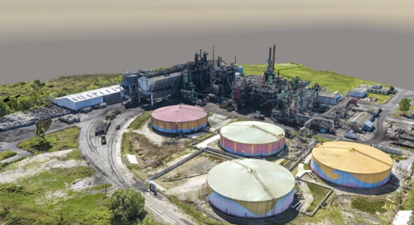
High-resolution aerial mapping and 2D/3D modeling for industrial construction, oilfield layouts, and topography. Deliver sub-centimeter accuracy for precise site monitoring and asset tracking.
High-resolution aerial mapping and 2D/3D modeling for industrial construction, oilfield layouts, and topography. Deliver sub-centimeter accuracy for precise site monitoring and asset tracking.