

Industrial Thermal Inspections & Aerial Mapping
ITC Level 1 sUAS Thermography & Photogrammetry. Delivering precise anomaly detection, asset monitoring, and high-resolution data analytics for critical infrastructure.
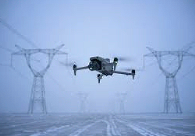
Thermal Asset Inspections
Sub-surface anomaly detection, substation/electrical grid monitoring, and localized hotspot identification for industrial infrastructure.
Photogrammetry & Mapping
High-resolution orthomosaic mapping, precision asset layouts, and volumetric data processing for site analysis.
Safety & Risk Mitigation
Fully FAA Part 107 compliant and ITC Level 1 Thermography certified operations. Equipped with enterprise grade radiometric sensors to ensure safe, preciise data collection.
Operational Excellence in Unmanned Aviation
Hogstooth Industrial Drone Services delivers high-tier aerial intelligence utilizing advanced platforms. By combining precision flight operations with specialized thermographic and photogrammetric analysis, we provide critical infrastructure managers with actionable, high-resolution data to optimize asset longevity and mitigate operational risk.
Submit a Project Inquiry
Provide mission objectives and technical parameters to initiate a tailored consultation.
Operations Manager : Michael
Direct # : (512) 808-6613